
Scratching at the surface
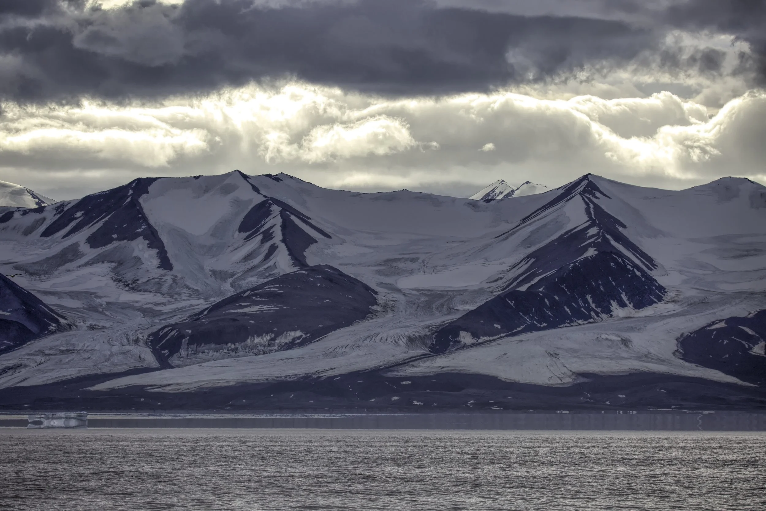
/The sun is setting now; it is midnight but it is not dark. A red sky lingers. Shadows cover the mountains but behind them, the sky is aflame. "Renee, come take a look." I hear Mark call on the radio. Renee heads to the foredeck. She witnesses (and later describes to me) one of the strange phenomena of the arctic summer. A full moon rises slowly behind the mountains of Baffin Island. But it does not continue to track higher and higher into the sky; instead, the lower limb barely reaches the peaks; it hangs there, continues its barely discernible arc and then slides behind the mountains once again, just as the sun, which has only dipped below the horizon for a few hours, rises again. Night is day; day is night. "It was beautiful the way the moon came up and was then cradled by mountains," says Renee. “It seemed to start to set almost as soon as it appeared.”
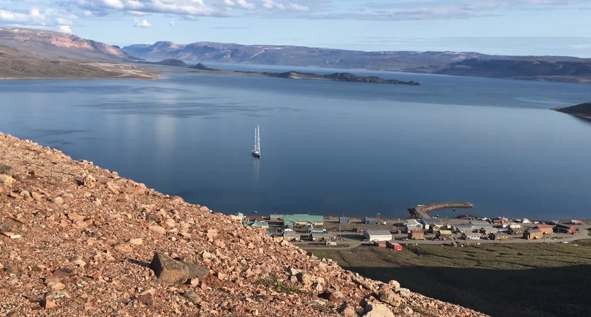
Earlier in the day we explored Pond Inlet, which has a population of 1600 and is the largest Canadian hamlet above 72 degrees North. The Inuit name is Mittimatalik, which translates roughly in to the "place where Mittima is buried." Not one book nor resident could tell me who Mittima was or why he was celebrated with a place named after him. Our day consisted of provisioning, walking the town, visiting the cultural centre, chatting with local children and their parents and absorbing the contrasting views. This is our first contact with anyone outside the yacht since August 4. The weather was stunning -- another of those cloudless, still days with sharp light illuminating every texture -- craggy cliff, weathered homes, broad Inuit faces, immense space.
I found myself puzzled by Pond Inlet; like Arctic Bay, the houses were bare and utilitarian with very few colors. Carcasses of snow mobiles were stacked in yards. Outboard motors partially stripped lay on pieces of cardboard. A child's bike lay in a stream. A Chevy Blazer, with both front wheels missing, was propped up by bits of timber. Power lines crisscrossed the sky, nests of wires emerging from transformers. Chip packets, plastic drink bottles, and a hat lay in the road. Quad bikes sputtered past, laden with parents, children, rifles, Narwhale tusks, gasoline cans. Ford F150s rolled near me, towing aluminium boats, kicking up plumes of dust. Huskies, chained on the beach, yowled. The largest ravens I have ever seen, cawed at us. An Inuit child we passed along the way, cawed back.
This was the surface layer, the foreground. In the background - just below the surface – we found something else. There were the mountains, immense ranges plummeting into the sea, there was the water, blue-green mixed with the mud of glacial runoff. There were the people, lots of people were outdoors, the joy of the brief summer. Kids played, drank from cans of Orange crush, munched on Cheetos. Women carried babies in slings on their backs while chatting on their iphones. Long canoe-like boats stacked with harpoons and fishing gear and powered by large 4 stroke motors were hauled up on the beach. Fathers and sons readied them for the day's hunt. There was talk of seal and whale. In lilting phrases, one local hunter answered our questions. “What is the harpoon for?” I asked. “What is the harpoon for?” he answered, repeating my question before offering, “Narwhal.”
Loaded with fresh produce, comfortably tired from several hours of walking but still with lingering questions, we returned to Rosehearty. It was a day spent among the modern Inuit, watching a full moon roll briefly across mountains in a red sky.

A red sky lingers. Photo by Renee.

A full moon rises slowly behind the mountains of Baffin Island. Photo by Renee


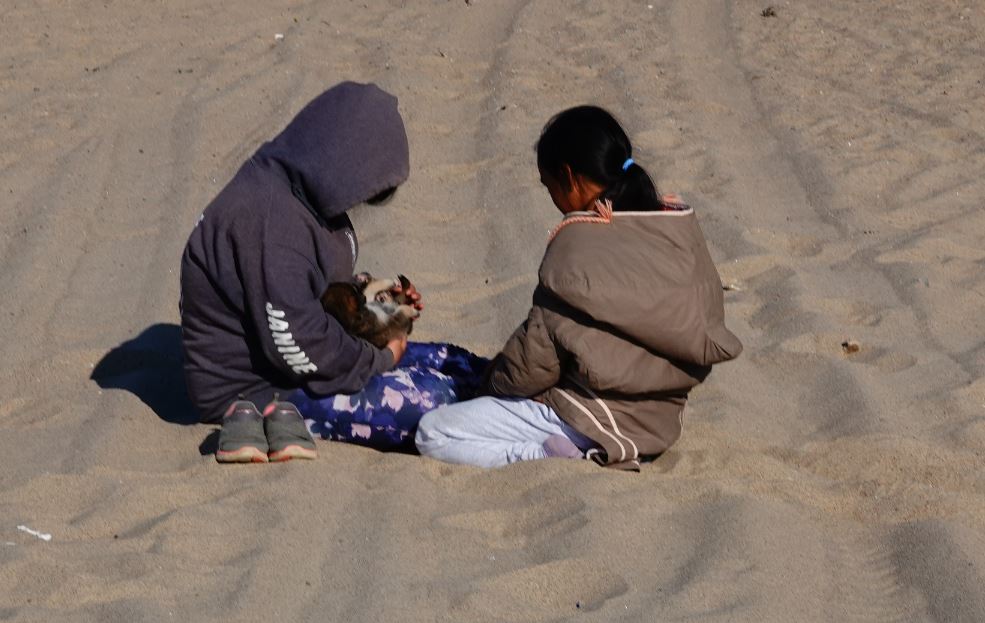
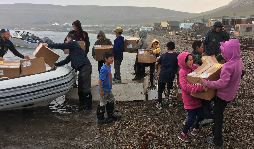
Inuit DAB! Photo by Jerry Herring

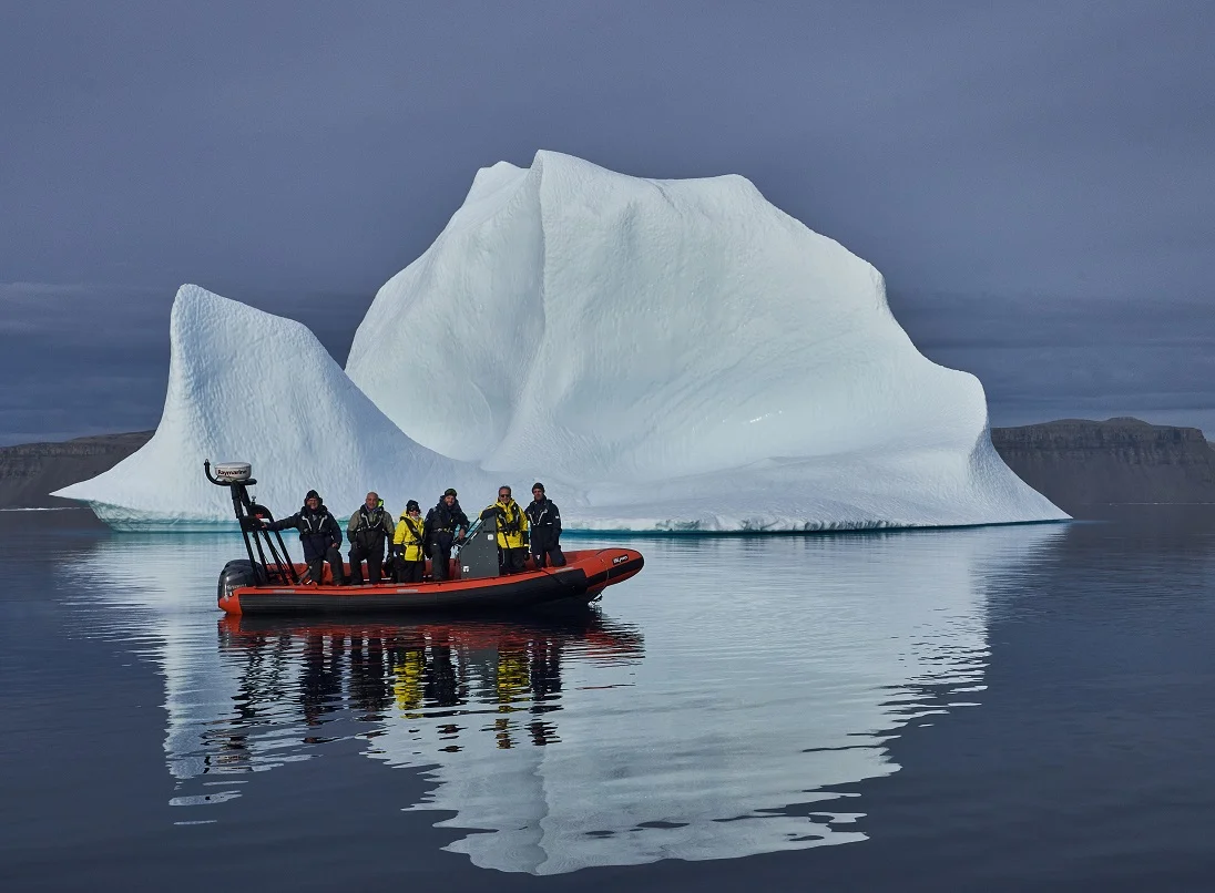
Photo by Jonathan

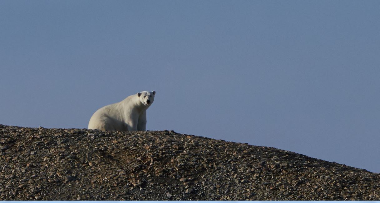
Photo by Jonathan

Photo by Joan Herring

Photo by Jerry Herring

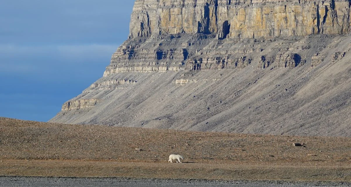
Photo by Jonathan
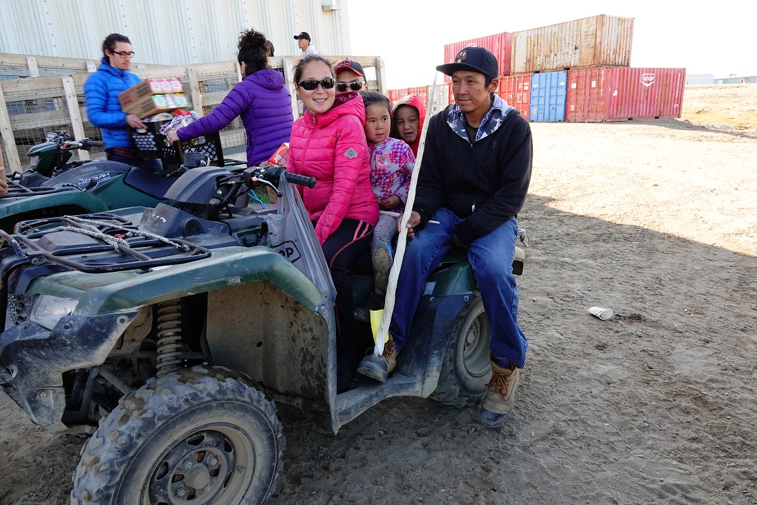
Photo by Jonathan

Photo by Jerry Herring
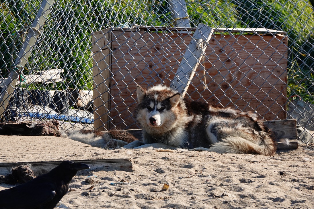
Photo by Jonathan